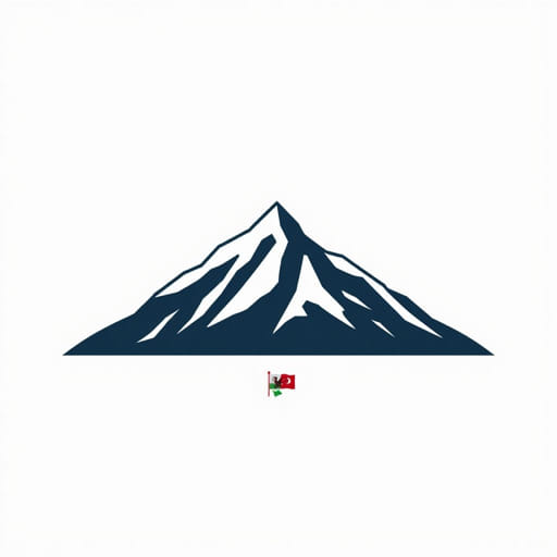
The world’s tallest mountain, Mount Everest, is a name known across the globe, symbolizing the pinnacle of human exploration and adventure. Few realize, however, that this majestic peak owes its name to a Welshman named Sir George Everest. His contributions to geography and surveying during the 19th century played a crucial role in mapping the Indian subcontinent and measuring the Himalayas. The story behind Everest’s naming reveals fascinating intersections of history, colonial science, and legacy.
Who Was Sir George Everest?
Sir George Everest was a British surveyor and geographer born in 1790 in Wales. Trained as a military engineer, he joined the British East India Company’s survey department in India. His expertise in geodesy the science of measuring Earth’s shape and size made him a pivotal figure in the Great Trigonometrical Survey of India, one of the most ambitious mapping projects of its time.
Early Life and Career
- Born in Gwernvale, Wales, in 1790.
- Commissioned into the East India Company’s army as an engineer.
- Developed skills in surveying and cartography early in his career.
Everest’s precision and leadership helped lay the groundwork for the detailed mapping of India’s terrain, especially the vast and difficult Himalayan region. Although he himself never climbed the peak that now bears his name, his influence on its measurement and recognition was immense.
The Great Trigonometrical Survey and Himalayan Mapping
During the 19th century, the British colonial administration sought accurate maps for administration and control of the Indian subcontinent. The Great Trigonometrical Survey began in 1802, aiming to measure the entire region with unprecedented accuracy using triangulation methods.
Sir George Everest took over as Surveyor General of India in 1830. Under his supervision, survey teams undertook detailed calculations and measurements across difficult terrain. This survey extended deep into the Himalayan mountains, setting the stage for the identification of the highest peak on Earth.
Challenges of Surveying the Himalayas
- Harsh and inaccessible terrain made measurements physically demanding.
- Extreme altitudes posed risks to surveyors and equipment.
- Limited technology required innovative techniques for accuracy.
Despite these obstacles, the survey teams gathered valuable data that later helped establish the height of the mountain now called Mount Everest.
Why Is It Called Mount Everest?
The peak was long known by various local names, such as Chomolungma in Tibetan and Sagarmatha in Nepali. These names reflected the mountain’s spiritual significance to local communities. However, when British surveyors first recognized the mountain as the highest point on Earth, it needed a standard name for official use on maps and documents.
In 1865, Andrew Waugh, Everest’s successor as Surveyor General of India, proposed naming the mountain after Sir George Everest in recognition of his pioneering work in surveying India and the Himalayas. Despite some controversy over ignoring local names, the British government officially adopted the name Mount Everest.
Controversies and Discussions
- Local populations favored indigenous names reflecting cultural heritage.
- Some critics argued Everest had never seen the mountain himself.
- Yet the name stuck due to colonial influence and international usage.
The naming of Everest after a Welshman highlights the complex legacy of colonialism in geographic naming conventions and cultural recognition.
Sir George Everest’s Legacy Beyond the Mountain
While Mount Everest stands as a towering symbol, Sir George Everest’s broader contributions to geography and surveying are equally significant. His work laid the foundations for modern cartography in South Asia, improving navigation, administration, and scientific understanding of the region.
Advances in Surveying Techniques
- Introduced innovative methods for triangulation and measurement.
- Improved accuracy in mapping previously uncharted regions.
- Trained and mentored surveyors who continued his work.
Everest was knighted in 1861 for his services to science and surveying. After retiring to England, he continued to advocate for advancements in geographic measurement until his death in 1866.
The Symbolism of Everest Today
Mount Everest has become much more than a geographic landmark. It symbolizes human endurance, ambition, and the spirit of exploration. Climbers from around the world dream of reaching its summit, testing their limits against nature’s most extreme conditions.
The mountain also reminds us of the global interconnectedness of history, science, and culture. That its name honors a Welsh surveyor underscores how international efforts and legacies shape our understanding of the natural world.
Everest in Popular Culture
- Featured in countless books, documentaries, and films.
- Hosts annual climbing expeditions that attract adventurers worldwide.
- Serves as a focal point for environmental and cultural discussions.
Mount Everest’s naming after Sir George Everest, a Welshman whose dedication to surveying reshaped maps and knowledge of South Asia, is a testament to the enduring impact of scientific discovery. Although Everest never set eyes on the mountain himself, his meticulous work enabled others to identify and understand the highest peak on Earth. The story behind the name offers rich insight into 19th-century exploration, colonial history, and the remarkable individuals who helped chart the unknown. Today, Everest stands not only as a physical giant but also as a monument to human curiosity and the legacy of a Welsh surveyor whose name continues to inspire adventurers and scholars alike.